Site selection at the speed of scale.
Intelligent site selection data on power, water, land, and permitting, combined into one powerful platform.

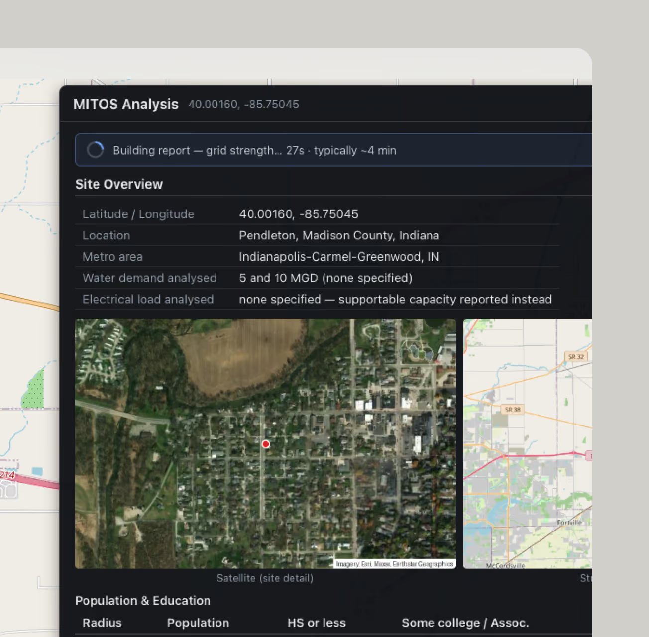
Expert Resource Planning for Dynamic Projects
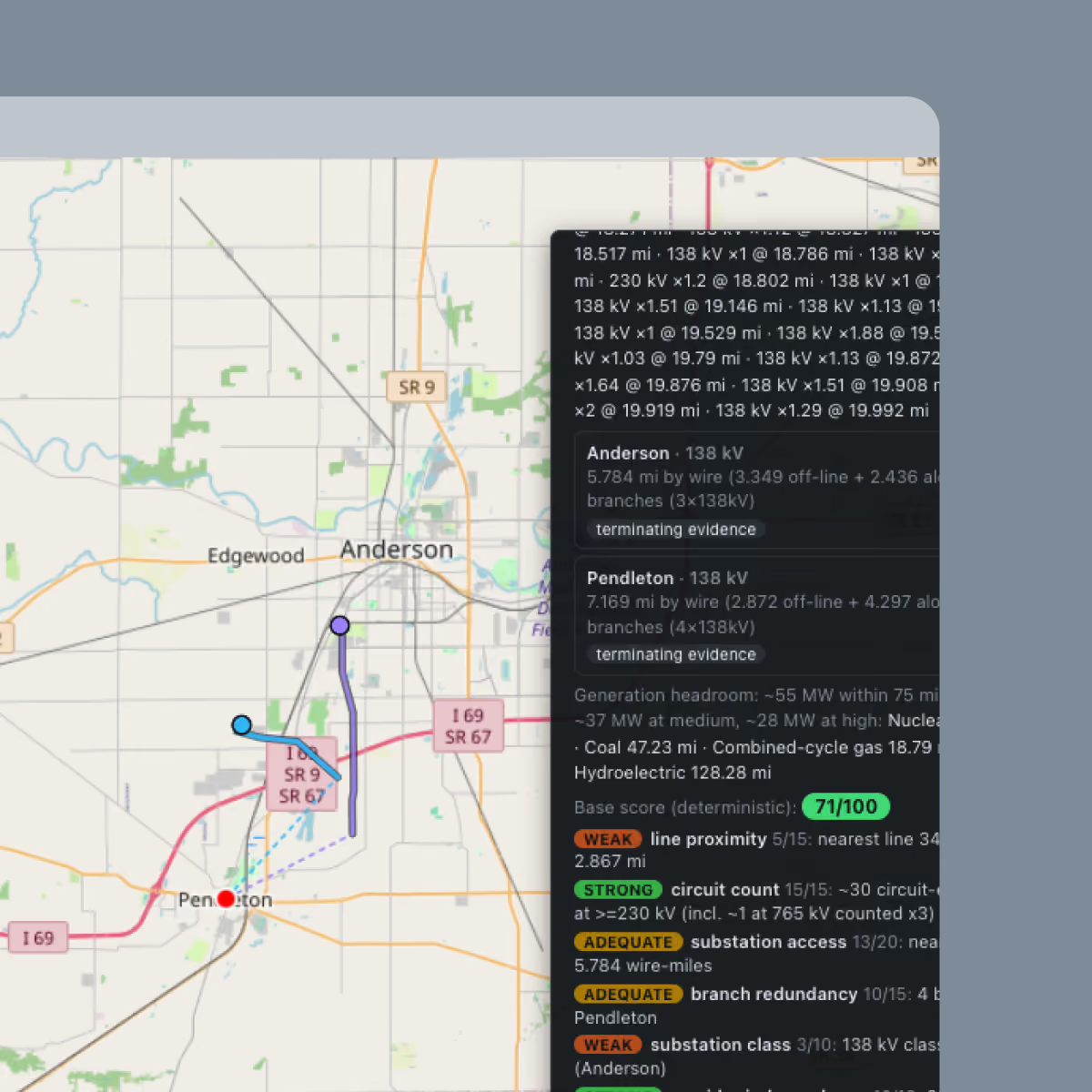
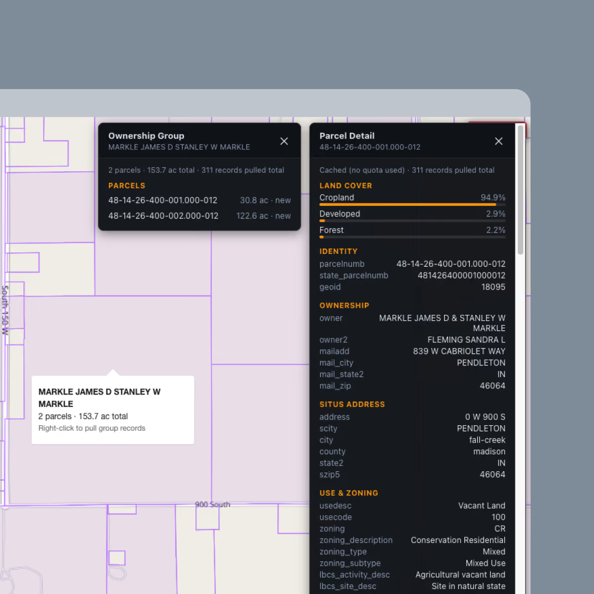
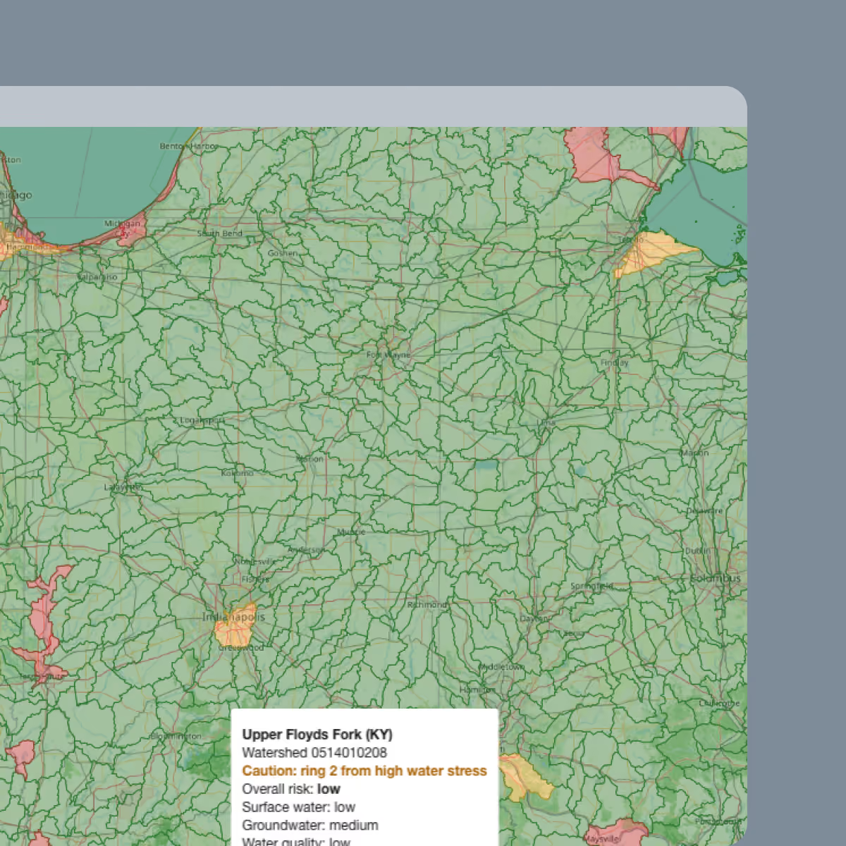
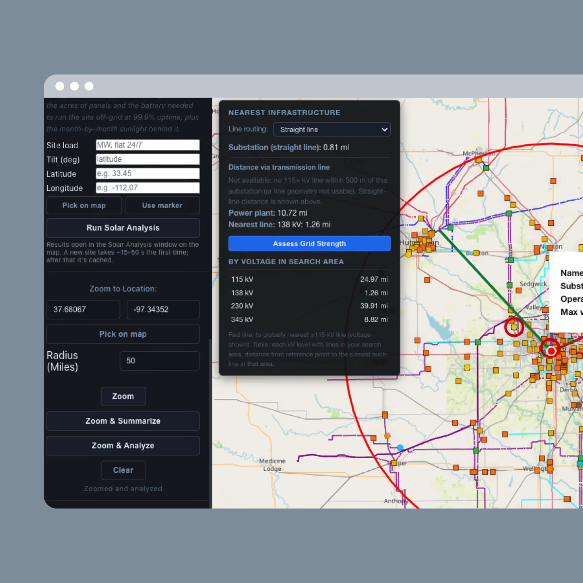
Large-load projects need more than just available land. They need grid capacity, reliable water, buildable ground, and a workable permitting climate, all in the same geographic location. Conventional site searches are slow, disparate, and miss viable options due to lack of actionable, intelligent data.
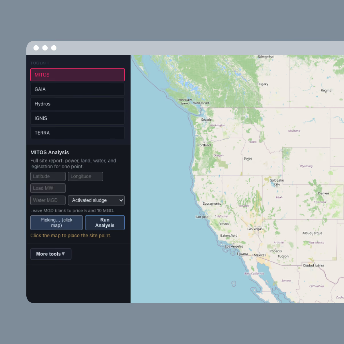
MITOS offers a powerful, data-forward solution to site selection woes. Regions are scored against access to power, water, land, and permitting, narrowing the field to sites with the strongest overall case. MITOS brings overlooked siting options that conventional searches overlooked, or never found.
Key Features.
Contact us today
Discover how we can help you achieve your sustainability and infrastructure goals with our expertise.